Invisible and contested
Low-altitude airspace is a shared public asset, but it is largely unmapped and ungoverned at the local level.
Aerorynth helps governments and operators plan autonomous drone networks, assess community and infrastructure impacts, define authorised operating conditions, translate policy into machine-readable constraints and maintain auditable evidence from planning through operations.
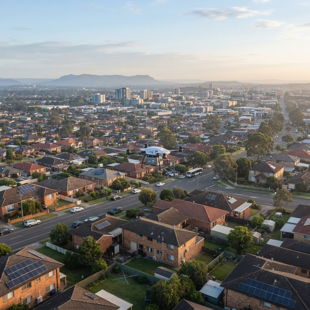
Illustrative example
Deliveries, inspections, medical logistics and emergency response are moving into the airspace above our streets. Without shared planning infrastructure, every proposal becomes a one-off negotiation.
Low-altitude airspace is a shared public asset, but it is largely unmapped and ungoverned at the local level.
Terrain, noise, population, infrastructure and regulatory layers sit in disconnected systems that never meet.
Councils, operators, emergency services and communities lack a common environment to evaluate trade-offs.
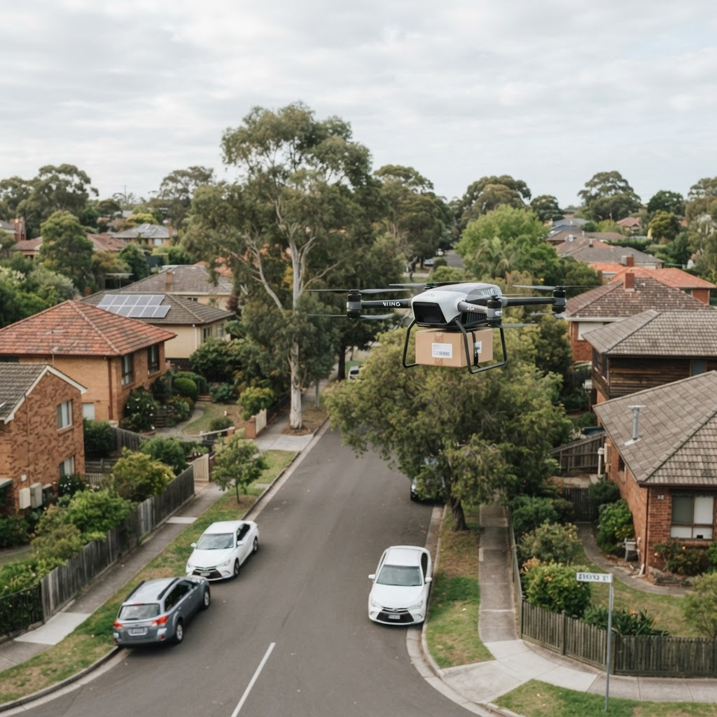
Delivery, healthcare, emergency response and infrastructure inspection are creating a new operational layer above our cities. Planning for that layer must begin before operations reach scale.
Aerorynth unifies geospatial data, simulation, assessment workflows and machine-readable constraint publishing into one continuous digital record from planning decision to operational evidence.
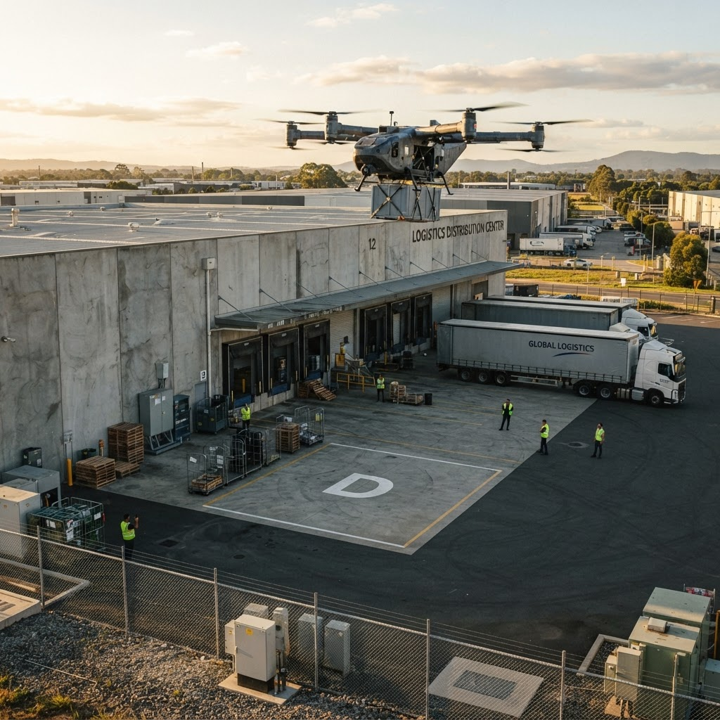
Aerorynth plans the infrastructure and airspace that operations depend on.
A living 3D model of the low-altitude environment layering terrain, buildings, sensitive zones, noise and population data.
Design and evaluate network and corridor options against constraints, then export defensible plans for consultation.
Model traffic density, noise exposure and community impact across competing airspace scenarios.
Generate candidate routes and surface trade-offs with an assistant grounded in your policy and planning rules.
Record authorised operating conditions and publish machine-readable constraints to compatible operational systems.
Receive telemetry and conformance evidence, then compare predicted and actual outcomes with full audit lineage.
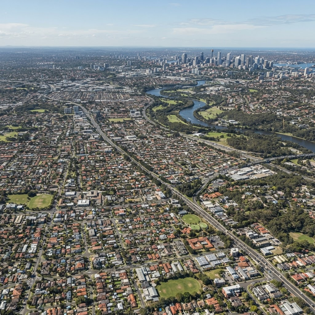
Understand the physical city first. Then model the autonomous operations above it.
Toggle constraint layers, adjust altitude bands and inspect how corridors interact with the built environment, all in an interactive digital twin.
Higher altitude bands unlock additional potential planning area, shown by the expanding dashed boundary.
Aerorynth gives each participant in the low-altitude economy a shared, evidence-based environment to plan and decide.
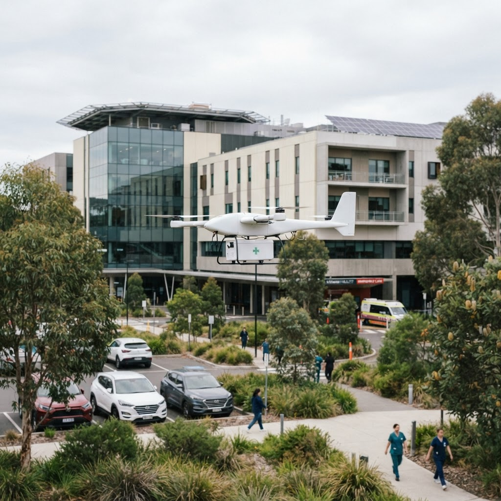
Plan reliable low-altitude networks connecting hospitals, laboratories and distribution centres.
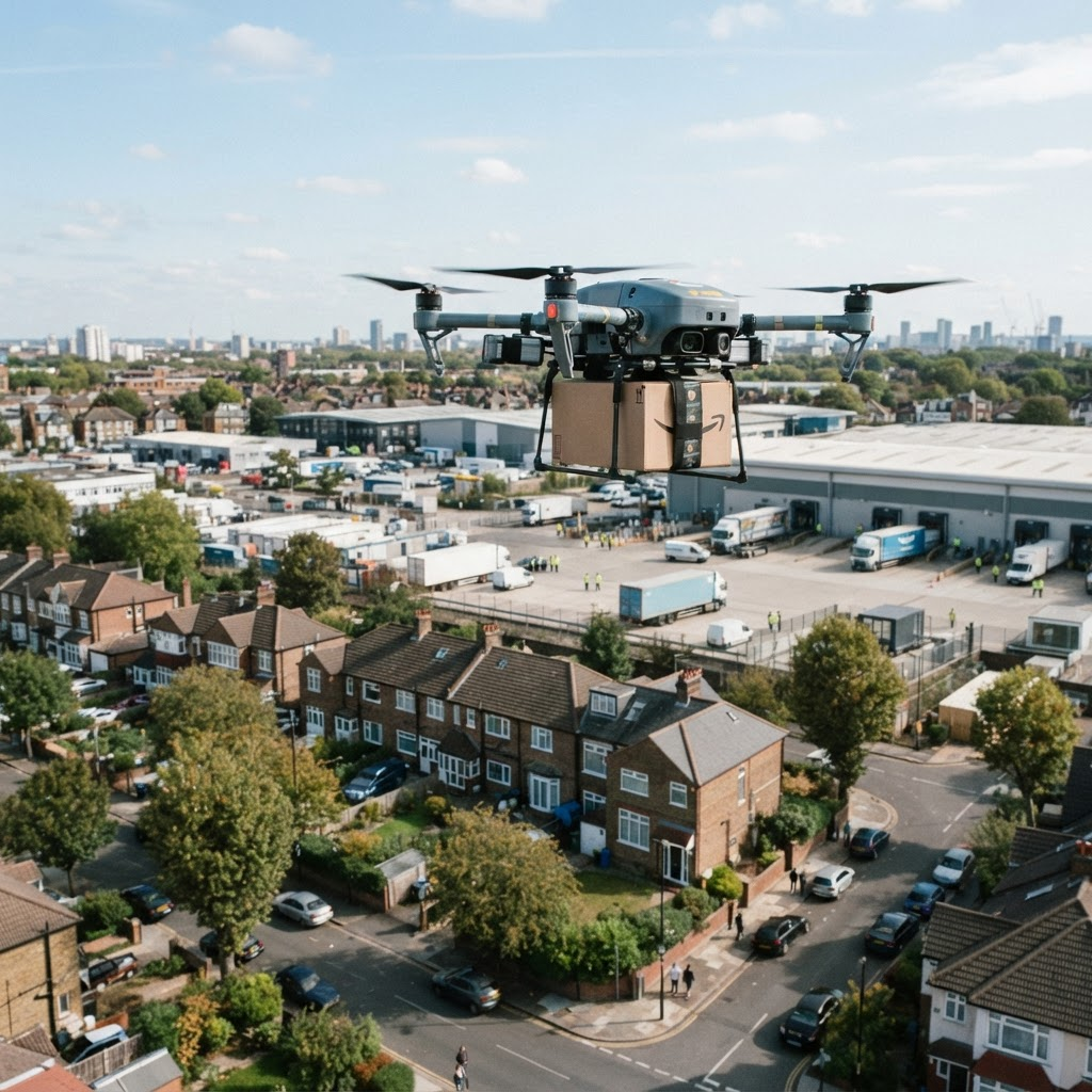
Evaluate potential corridors, infrastructure demand and community impact before operations reach scale.

Plan priority access, operational corridors and supporting infrastructure for critical missions.
Create low-altitude airspace plans, assess proposals and establish governance frameworks. Our primary beachhead and the first customers we build alongside.
Identify potential sites for drone hubs, charging facilities and landing zones.
Understand how autonomous aviation infrastructure may shape future precinct planning.

Aerorynth is the digital governance layer for the low-altitude world—connecting government policy to authorised, machine-readable operating conditions.
Conceptual planning visualisationWork with Aerorynth to plan, simulate and govern your region for the next generation of autonomous aviation—from policy to operational evidence.