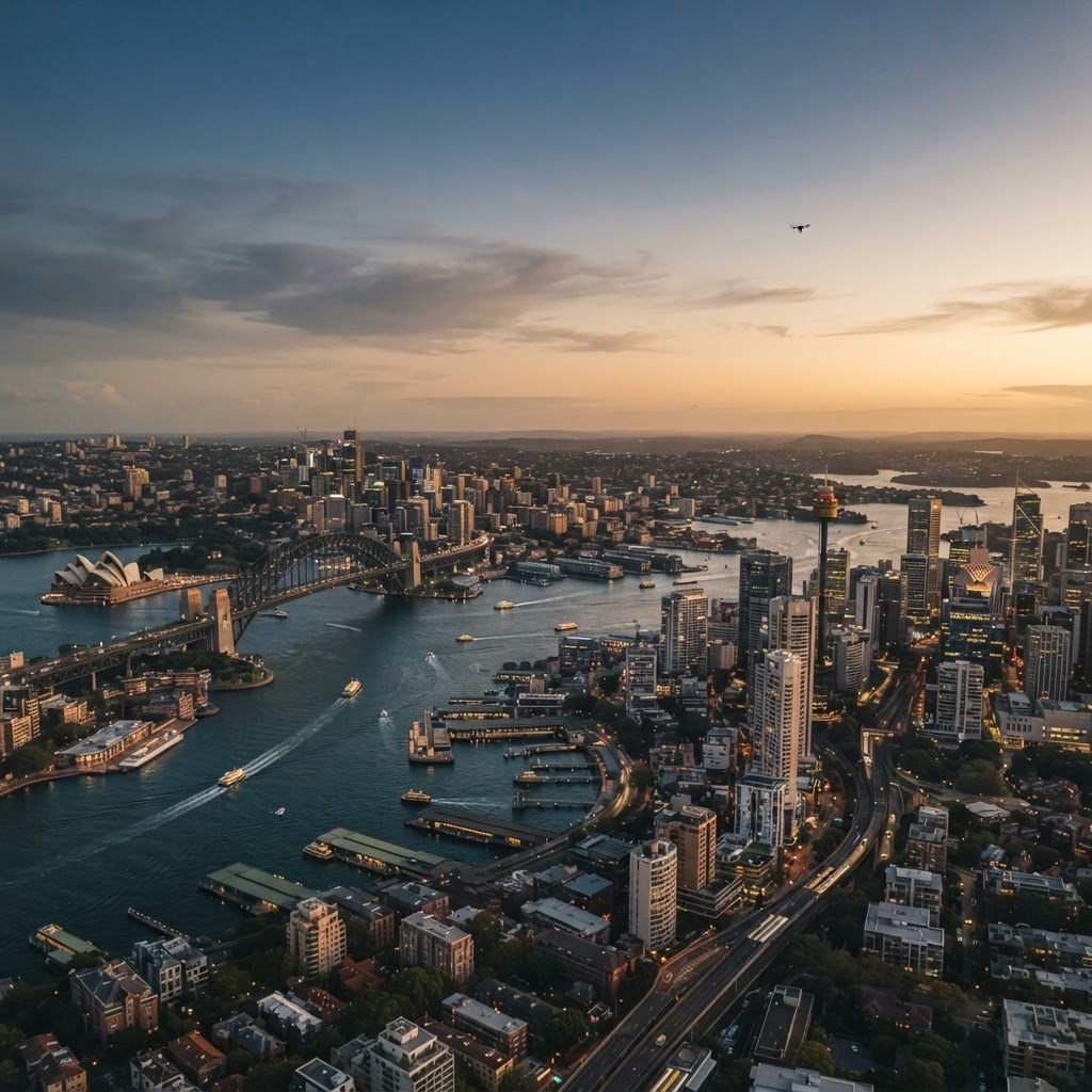
Terrain & built form
Elevation, buildings and structures form the physical envelope of the airspace.
The Aerorynth Digital Twin fuses terrain, infrastructure, constraints and live feeds into an interactive 3D environment: the shared canvas for every airspace decision.
Toggle constraint layers, adjust the altitude band and select corridors to inspect how they interact with the city below.
Higher altitude bands unlock additional potential planning area, shown by the expanding dashed boundary.
The twin is only as good as its data. Aerorynth keeps physical, regulatory and operational layers aligned in one model.
Elevation, buildings and structures form the physical envelope of the airspace.
Restricted and sensitive zones, aerodromes, noise-sensitive sites and population density.
Weather, active corridors and telemetry keep the model current for conformance and evidence.
A single source of truth councils, operators and agencies can all reference.
Work with Aerorynth to plan, simulate and govern your region for the next generation of autonomous aviation—from policy to operational evidence.